
Blue Green Grid
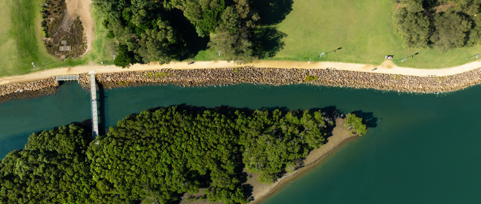
The Blue Green Grid is a city-wide network of 'blue' links like creeks, wetlands and rain gardens, and 'green' links like parks, gardens and bushland that connect our town centres, schools, public transport hubs and residential areas. The Blue Green Grid supports accessibility, recreation, biodiversity and liveability. It helps protect and connect existing bushland areas and naturalises and improves our waterway health.
As part of our Newcastle Environment Strategy, City of Newcastle is developing a Blue Green Grid Action Plan to map these areas and prioritise initiatives to build and connect our blue and green links over time.
Koala Drone Survey
From April to June 2025 we conducted thermal drone surveys in bushland around Minmi, Fletcher and Wallsend to understand koala presence in the area following recent sightings and road incidents.
The results will inform koala conservation actions and the development of our Blue and Green Grid Action Plan, a key deliverable of the Newcastle Environment Strategy.
Read the full report here.
What we found
- Koalas were confirmed in two locations, with 17 detections representing at least five individuals. Four were in Stockington State Conservation Area (in the area known as 'Tank Paddock' east of Lenaghans Drive) and one was in Blue Gum Hills Regional Park.
- Koalas were found in the same spots a month apart, suggesting resident populations.
- The area supports high biodiversity, with 29 native species recorded including the threatened grey-headed flying fox and squirrel glider.
- Roads and urban development are major barriers to koala movement.
- Ongoing research and monitoring is needed to better understand koala health and habitat use.
What next
The findings of the report will help guide several management actions, including:
- the creation of biodiversity corridors to enhance connectivity between areas where koalas live
- restoration and strengthening of koala habitat in key locations
- evaluating and implementing measures to reduce road strikes
- working with neighbouring councils, relevant state agencies, and landowners.
How you can help
Download the I Spy Koala app to record your own local koala observations. This data can help long-term planning and protection of koalas in NSW.
Vegetation Surveys
We are undertaking visual vegetation surveys across selected sites in Newcastle during August and September 2025 to improve our understanding of vegetation and plant community types, habitat and wildlife corridors throughout the city.
Collecting local data through these surveys allows us to verify and refine existing vegetation type mapping prepared by the NSW Government.
The improved city-wide vegetation mapping will be used to develop our Blue Green Grid Action Plan, a key deliverable of the Newcastle Environment Strategy, and to support a range of other environmental initiatives such as our bushland management program.
The surveys will focus on land owned by City of Newcastle (CN), particularly sites where vegetation is less well-documented. Not all CN-owned land will be included. Surveys of other land, such as land managed by the State Government, are being arranged separately with the relevant land managers.
Experienced ecologists from EcoLogical Australia have been engaged to conduct the surveys. They will walk through identified sites to survey and identify vegetation and plant communities.