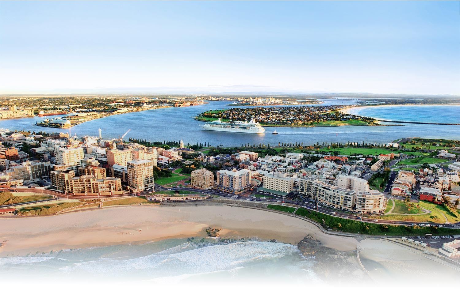
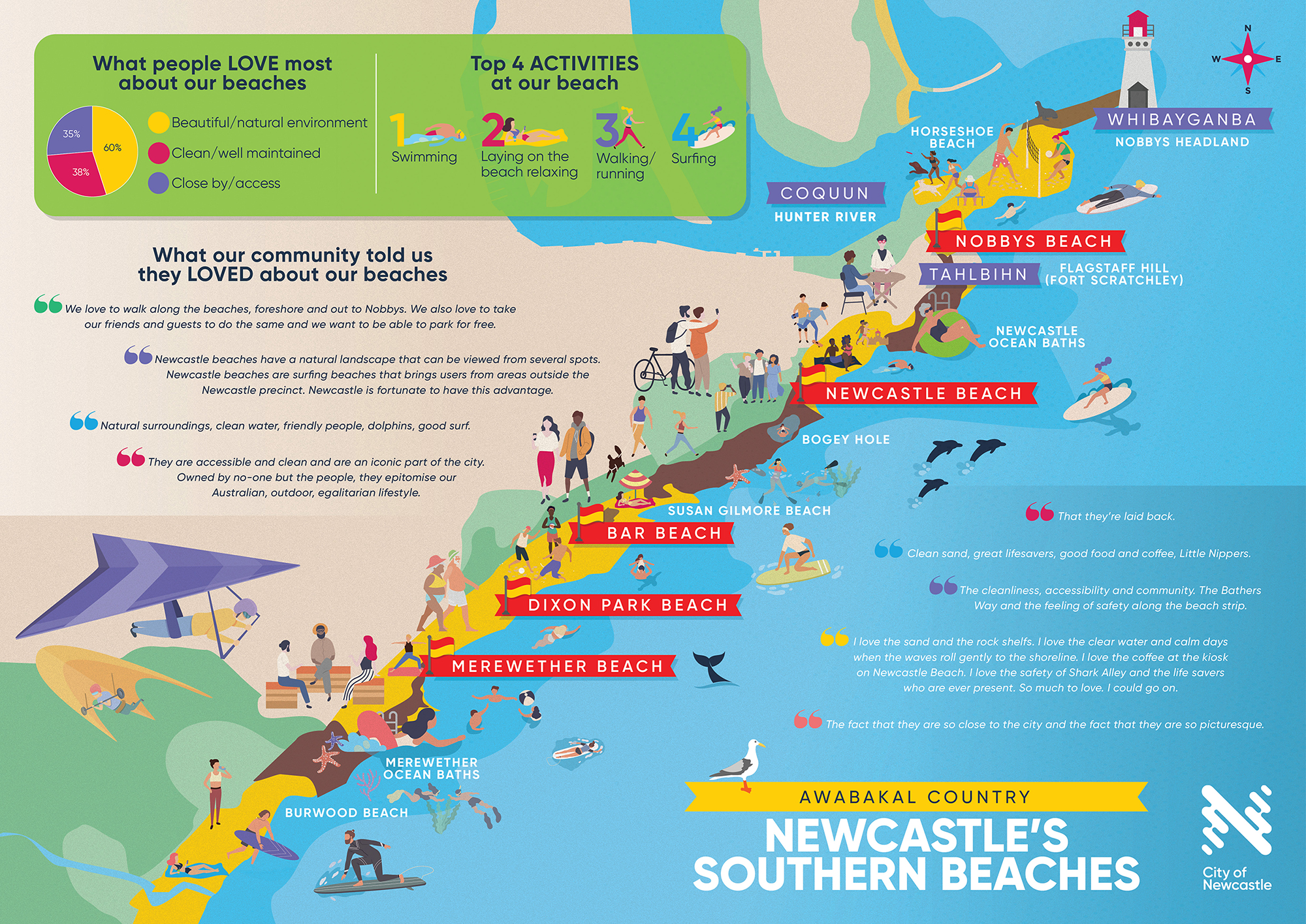
Southern Beaches Coastal Management Program
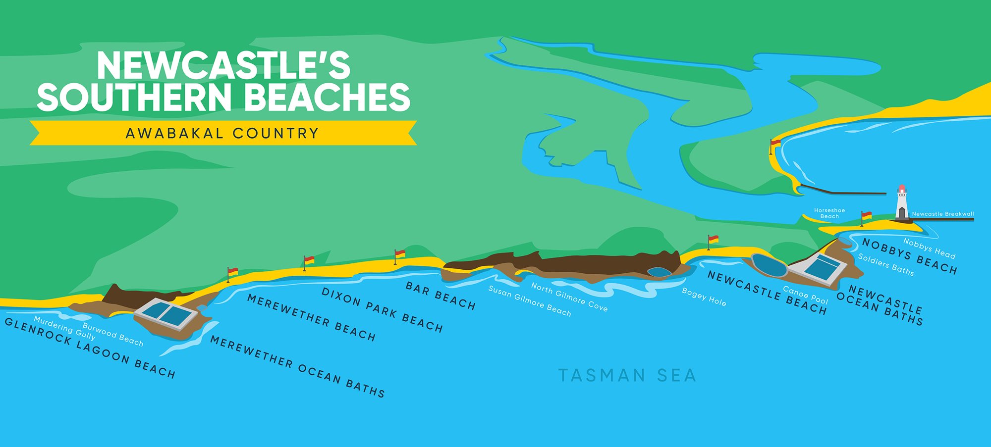
We have been working on a long-term plan to manage our coastline between Nobbys Headland and Glenrock Lagoon collectively known as our Southern Beaches. This Coastal Management Program will contain a series of actions to help us adapt to both immediate and future changes on our coast.
Why we need to act
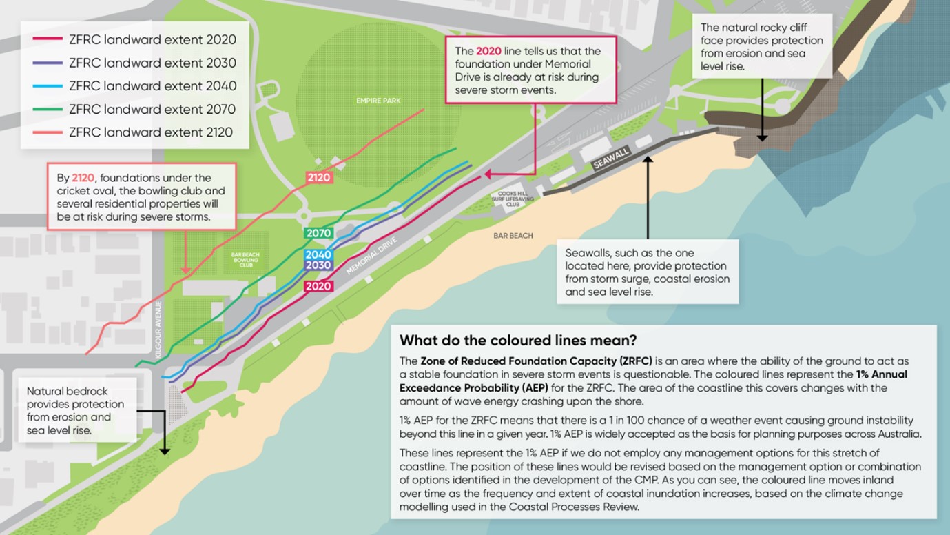
Evidence shows our coastline is at risk from climate change-driven threats, including:
- Coastal erosion – loss of sand and beach area during big swells and storms
- Coastal inundation – flooding of low-lying areas
- Sea level rise – gradually changing the shape and function of our beaches
These changes can affect how we use and enjoy our coastline, as well as the safety of nearby infrastructure like pathways, carparks, and surf clubs. Taking action now means we can protect the lifestyle, recreation, and natural beauty our coast provides.
How does the coastline in this area work?
Understanding how our coastline works is an important part of planning ahead for our beaches. This video takes a look at the coastal processes that occur at the stretch of coastline from Merewether to Bar Beach.
How we’re planning for this CMP
We’ve been investigating how best to manage our southern beaches, with a focus on the Mereweather to Bar Beach embayment as it has the highest risk. Our work so far includes:
- Geotechnical investigations – understanding the physical makeup of the coastline
- Risk assessments – identifying what’s at stake and what’s most important
- Feasibility studies – evaluating what can realistically and practically be delivered
From this, we’ve developed a short list of management strategies. These are not standalone fixes and will likely require a combination of the management strategies being considered.
Management strategies being considered
We’re now sharing the shortlisted strategies being considered to help protect places like Merewether, Dixon Park and Bar Beach.
These options listed below are not being considered in isolation, as the best outcomes will often require a combination of approaches to manage the coastline effectively. These include:
Frequently Asked Questions
How can you get involved?
While we prepare the next stage, you can help us track how the coastline is changing via CoastSnap. CoastSnap NSW is a collaboration between UNSW Sydney, the NSW Government and City of Newcastle.
- Visit a CoastSnap station at Bar Beach or Merewether, place your phone in the cradle, and take a photo.
- Or download the CoastSnap app and upload your images from anywhere along this stretch of coast.
Your photos help build a visual record of coastal change over time, supporting the science behind our CMP.